Guest River Gorge
- 5 miles
- 6:19 duration
- 872 foot elevation gain
- 13 geocaches logged, 2 EarthCaches logged
The Guest River Gorge Trail near Coeburn, VA is a 5.9 mile long trail along an abandoned rail-bed. The trail follows the Guest River to its confluence with the Clinch River. This is a well-maintained gravel trail suitable for hiking and biking. To the end of this trail and back would be a hike of nearly 12 miles.
There are 26 traditional geocaches, 3 EarthCaches and one multi-cache along this trail. LakeBum (Rob) and I had previously found one cache on the trail, ironically at the very end. How does that happen you may ask?
If you are a follower of my blog, you know that I not only write about my hiking adventures, but also about travels with Signal the Frog, paddling adventures in my Liquid Logic Kayak named Huck and bike trips on my Schwinn Discover that I have dubbed the BAT-bike.
In July 2017 Rob and I were part of a group that paddled the Clinch River. During that trip, we made a stop at the confluence of the Clinch and Guest Rivers, and walked up from the river to find the cache at the end of the trail. This was probably the best way we could access that cache, because a twelve mile hike is longer than our feet would allow. If you missed it, you can read more about that day’s adventure here.
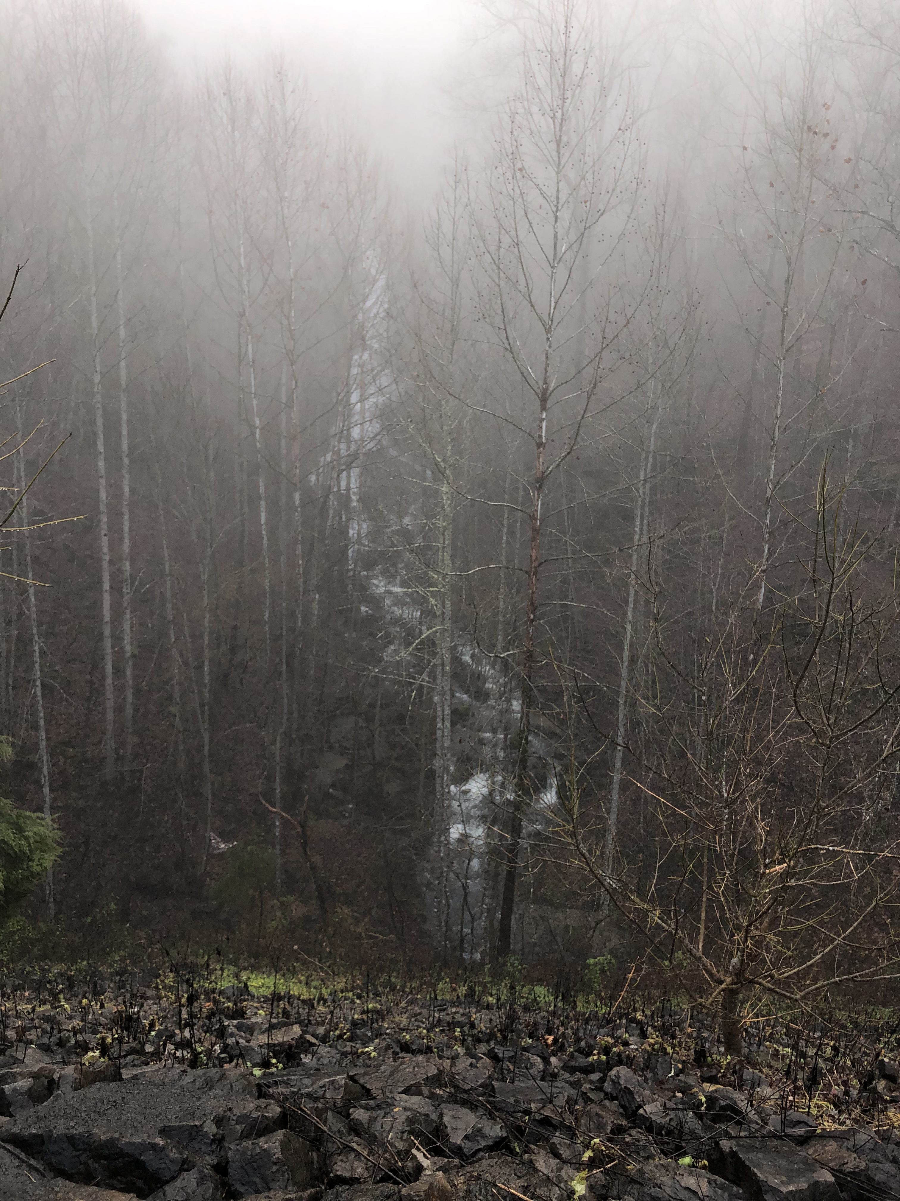
Because we have hiked a few times at nearby Stony Creek, and have paddled a couple of times in this area, we are very familiar with the route to this part of Wise County. However, as we traveled along the Veterans Memorial Highway between Gate City and Dungannon on this day, Rob suddenly noticed a waterfall we had never seen before. I made a U-turn at the next intersection, drove up past it until I could turn around again, and then pulled over on the shoulder when we neared the spot he had seen it.
It was a foggy morning, but through the mist we could see a waterfall tumbling down the steep slope of the mountain. It was hard to get a photograph of it with the fog and all of the trees in the way, but we enjoyed looking at it for a few minutes before getting back in the truck to continue on our journey.
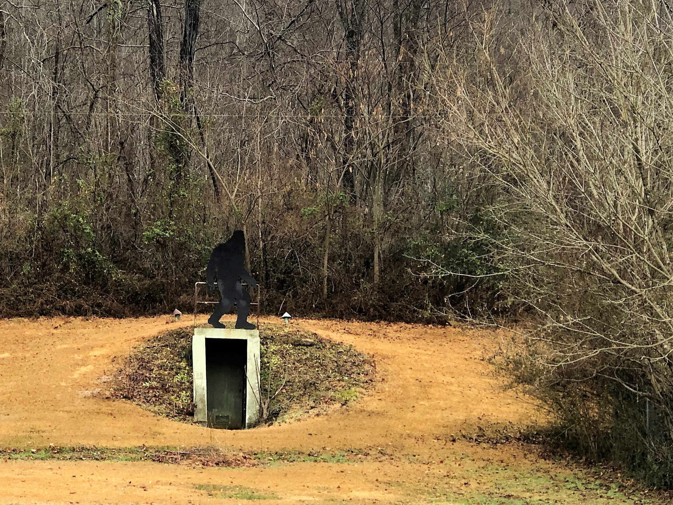
I paused again as we drove through Dungannon to take a photo of a giant Woodbooger figure perched above the entrance to a storm cellar in the back yard of a home. We had seen it on previous trips, but I wanted to get a photo.
When we reached the trailhead, it was 10:00 am and still somewhat foggy and just a little cool. I was comfortably dressed in a long sleeve shirt and hooded sweatshirt. There was no need for gloves or a knitted cap on this day.
As we left the truck and started toward the trail head, we saw an unusual sight. A man on a bicycle, pulled behind him a wagon loaded down with folded pads and other items. He was followed by a dog. I thought that perhaps he was on a multi-day bike trip and carrying camping gear with him.
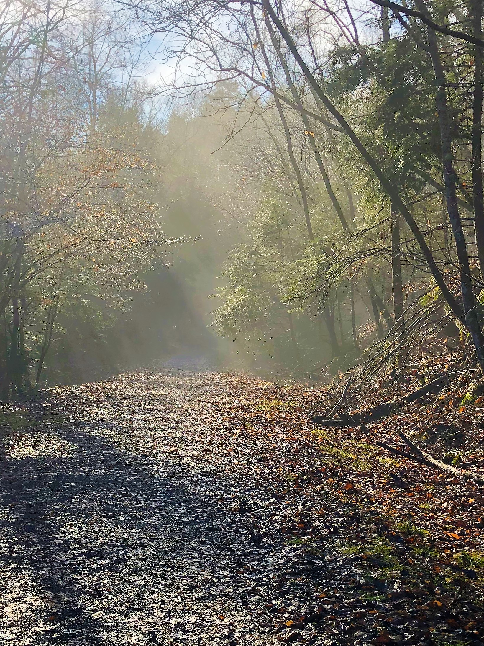
We stopped at the trail head sign to find the first geocache, and it was in the first spot that Rob looked. This was an encouraging start to the day, and we hoped that all of our searches would be that easy. We headed down the trail in high spirits. The sunlight slanting through the fog along the trail was beautiful, and promised to burn off the rest of the fog soon.
A short distance down the trail we reached the location of the next cache. On the right side of the trail was a ten-foot waterfall cascading down the bank. Our phones pointed us to the left of the trail to find the cache which was named, “On Top.” We climbed up the bank on that side the trail and searched in multiple areas for the cache. After a lengthy search we finally gave up and decided to move on. It had not been found by the previous two searchers, and was last logged in November 2017.
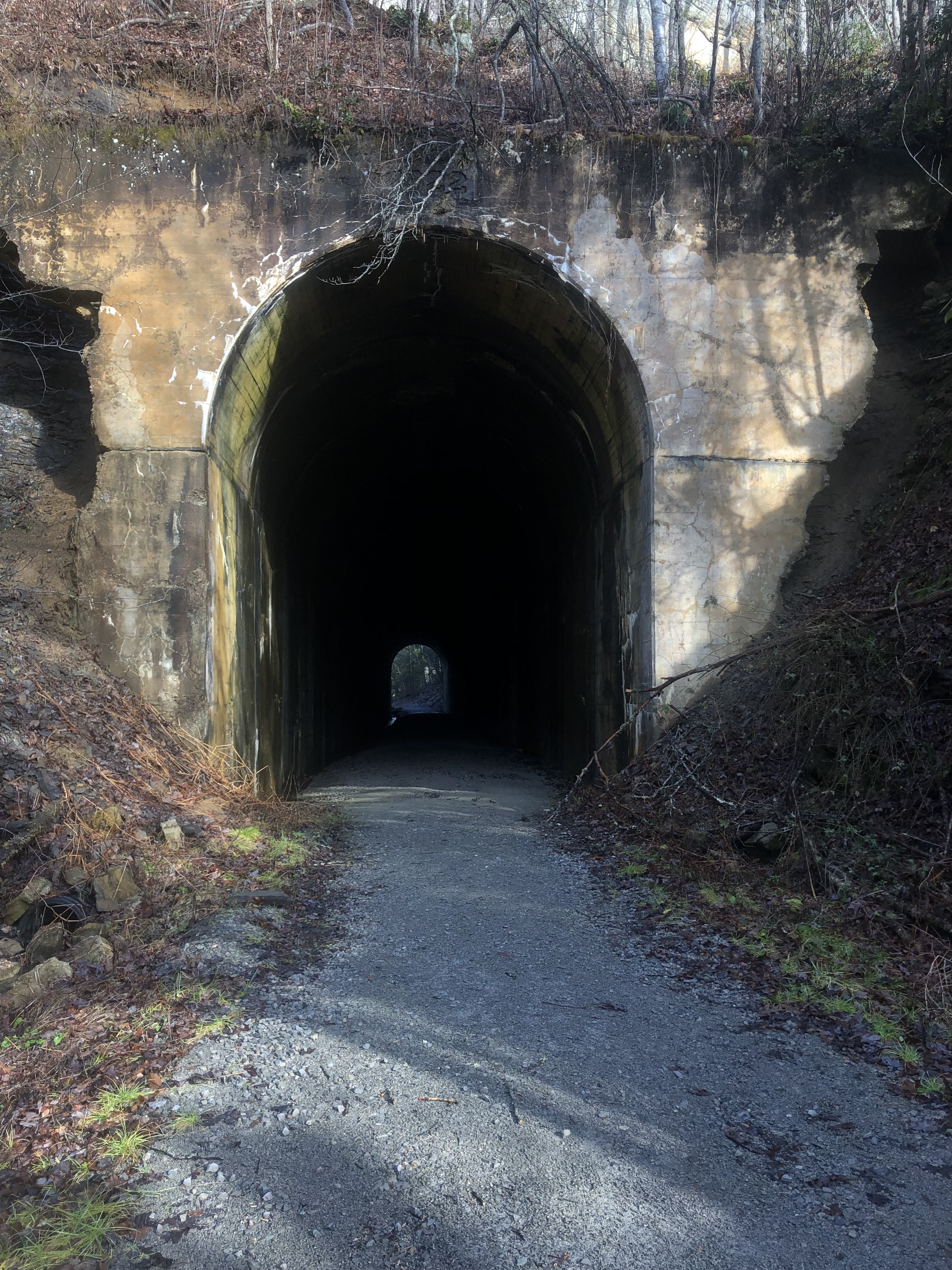
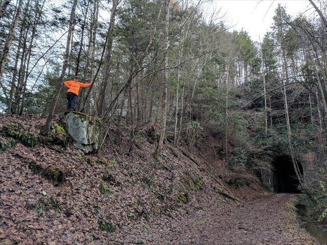
Within sight of where we were searching was the Swede Tunnel. It was built in 1922 to provide passage for the railroad. There is something magical and mysterious about abandoned railway tunnels. I always enjoy walking through them. This tunnel is also the site of an EarthCache. As you may have learned in my most recent post, an EarthCache has no physical container or log sheet. It is at the sight of some geological feature, and in order to log it you must answer questions about what you observe at the location and learn from your visit or from reading the cache page.
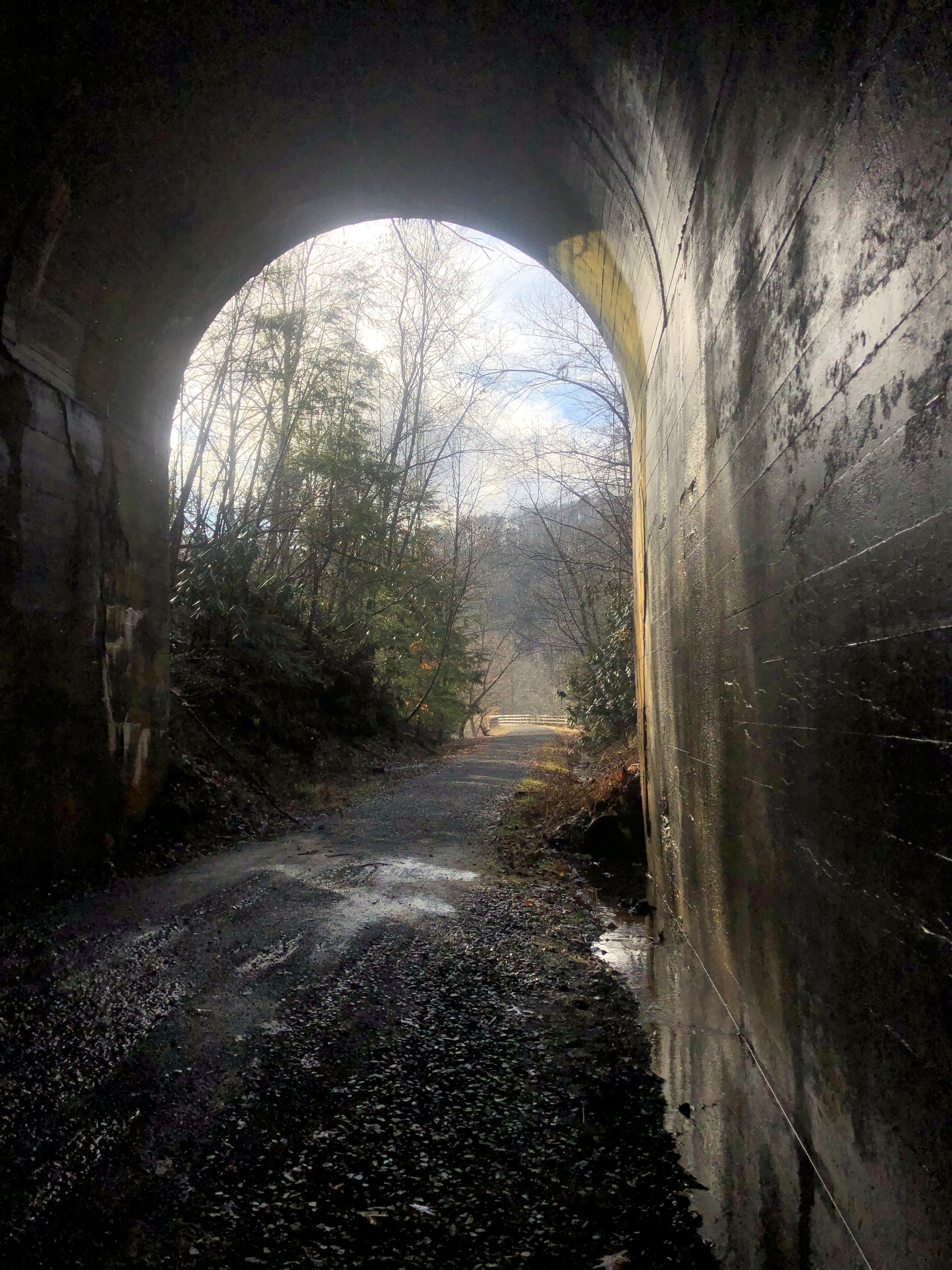
In this case, the topic was speleothems. This is a term I had never heard, but while reading the cache page I found I was familiar with a couple of the types of speleothems: stalactites and stalagmites. I had never really thought of the possibility of stalactites forming in a tunnel, but we viewed several here. I always enjoy the lessons I learned from EarthCaches, making them a fun type of geocache to log.
On the other side of the tunnel, we again went off-trail in search of a geocache hidden by our friend KickenChicken (Treavor). Our phones pointed several hundred feet up hill. We decided that this would be a good time for such extreme terrain since we were still fresh so early in the hike.
We climbed and climbed, with the distance noted on our phones slowly decreasing. When we reached several large boulders, we paused to read the cache description, which said we didn’t need to climb the rocks but could go around them and walk to the cache location. We backtracked a little, each taking different routes to make our way around the boulder field. Even though it is winter and the underbrush not as thick as summer growth would be, we still had to battle our way through a lot of thorny plants and be careful of our footing around fallen trees and rock terrain.
Once around the boulders, we still were not getting close to our goal. I suddenly realized that we needed to be on top of the rock outcropping that towered above us. THAT’S what the cache page meant about going around and walking up to the cache location instead of climbing. We continued on up the hill, and finally reached a point where we could turn back and walk along the top of the rock formation.
We finally reached a point where our phones told us we were within feet of the cache, and began our search. We had looked for 30 minutes or more for the cache without success. The rocks in the area we were searching were covered in deadfall – trees and branches that had broken in either a windstorm or snowstorm. There were a lot of thorns in this area as well. We had to fight through all of this debris to reach each spot we searched. My hands were getting a bit scratched up in the process.
Neither of us wanted to give up since we never wanted to have to make the trek up to this spot again. Rob had sent a message to Treavor asking for some help finding this elusive cache. Before he could reply, I expanded my search perimeter and suddenly spotted the container hiding under a rock I had previously been standing on! THIS is why we play this silly game. The sense of satisfaction that comes from finding a tough hide like this one is hard to explain, but it makes all of the hard work worthwhile.
By the time we had signed the log, we were ready for lunch. We made our way back down the steep hillside to the trail, and sat on a bench to eat. I looked at the map on my phone and told Rob that we were just .3 mile from the first cache at the trail head, and it had been two hours since we started the hike. We decided that at this rate, it would take us four or five trips on this trail to find all of the caches.
After lunch, we decided to bypass the next cache along the trail. It was hidden in 2015 and had been found by three cachers not longer after it was hidden. No one had logged it since then, and it was again off-trail a considerable distance. Add to that the very vague description and hint, and we decided to leave it for another day.
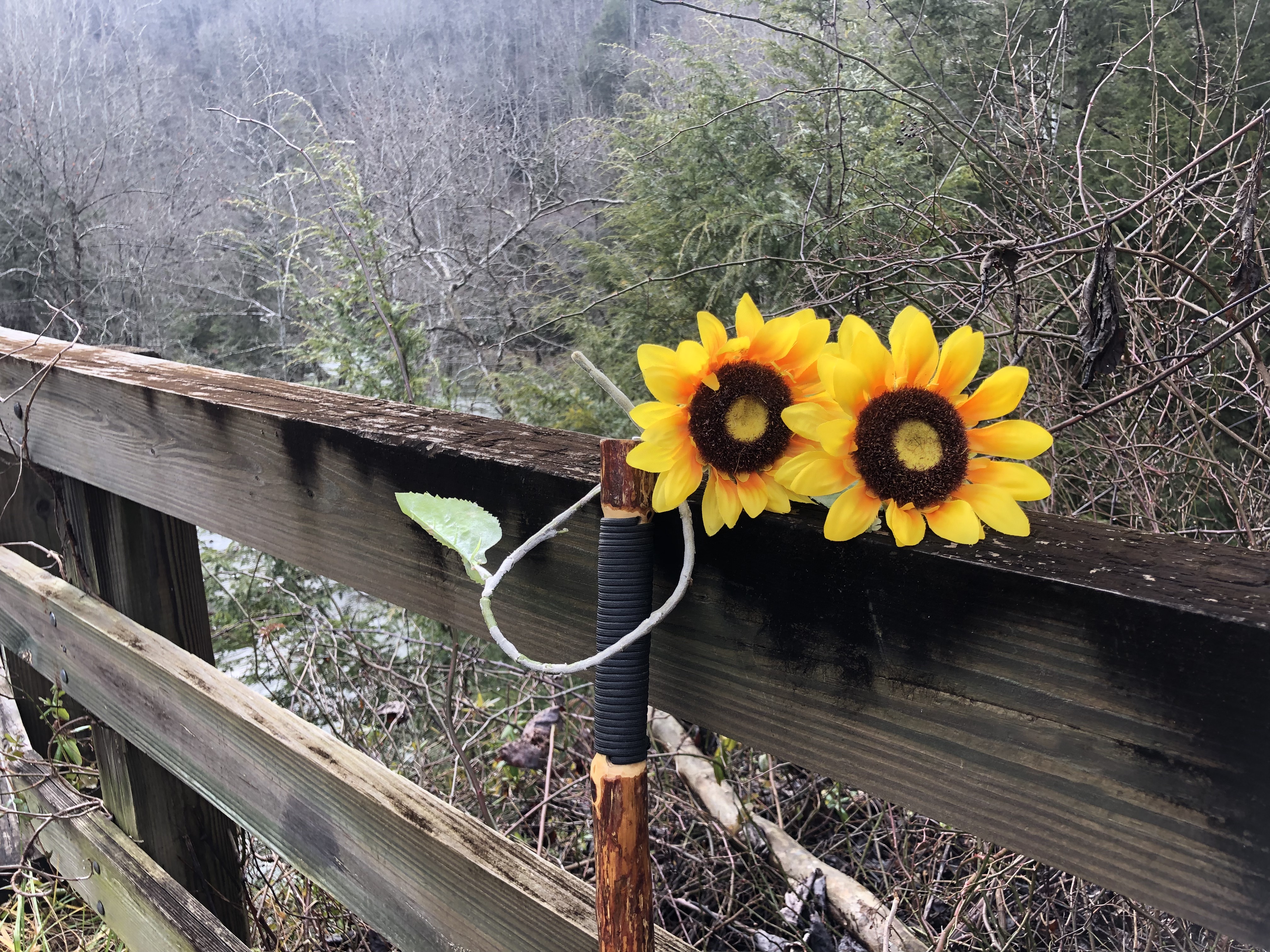
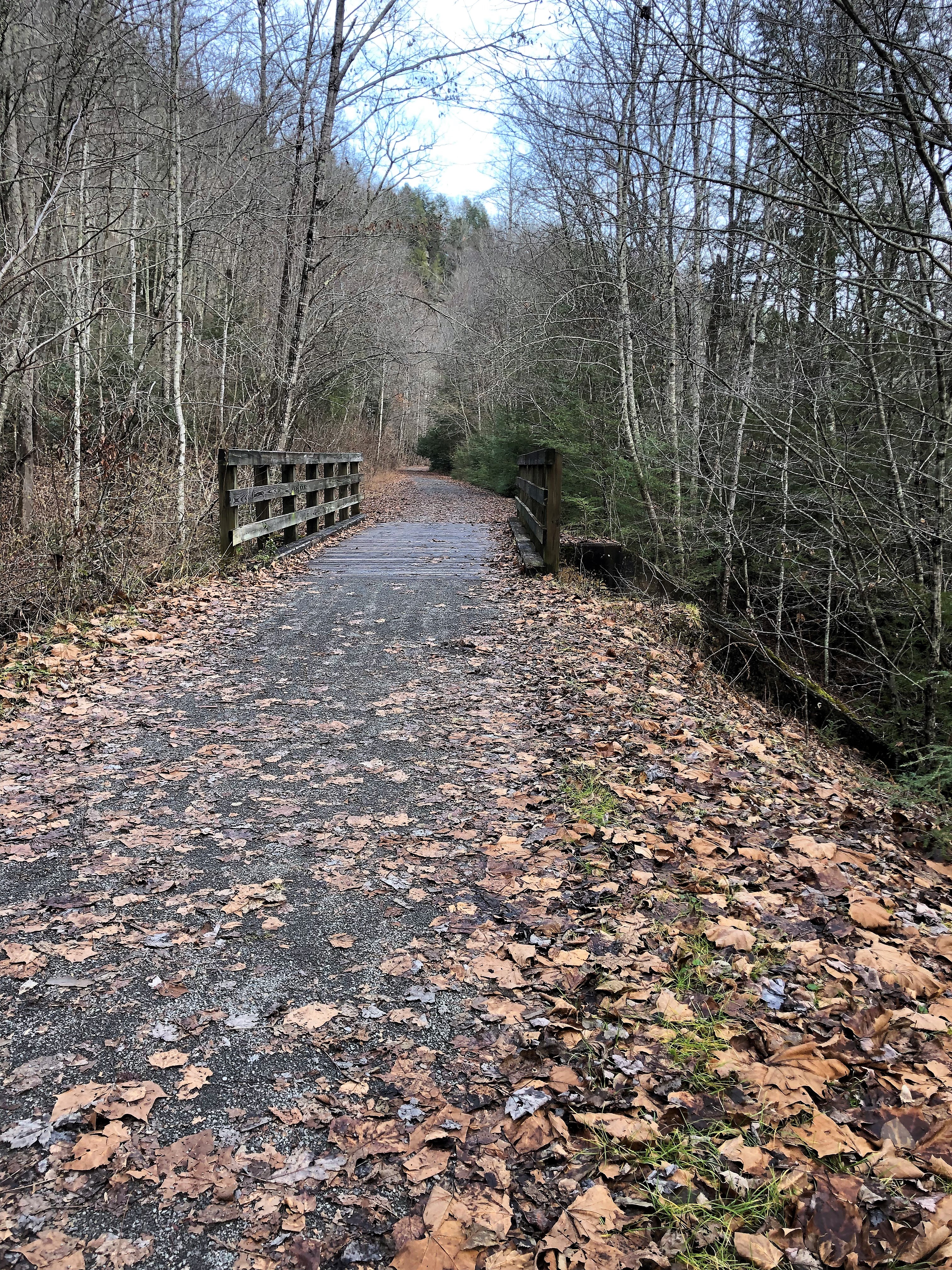
There is a long foot bridge crossing the river a short distance from where we ate lunch. As I approached it, something yellow just past the hand rail caught my eye. Sunflowers blooming in December? They turned out to be fake sunflowers. I wonder how they ended up here? I placed them on the hand rail for others to enjoy.
This foot bridge is the site of another EarthCache. It has a geological lesson about the river and how it has shaped the gorge. We collected the information needed to log that cache and continued on the trail.
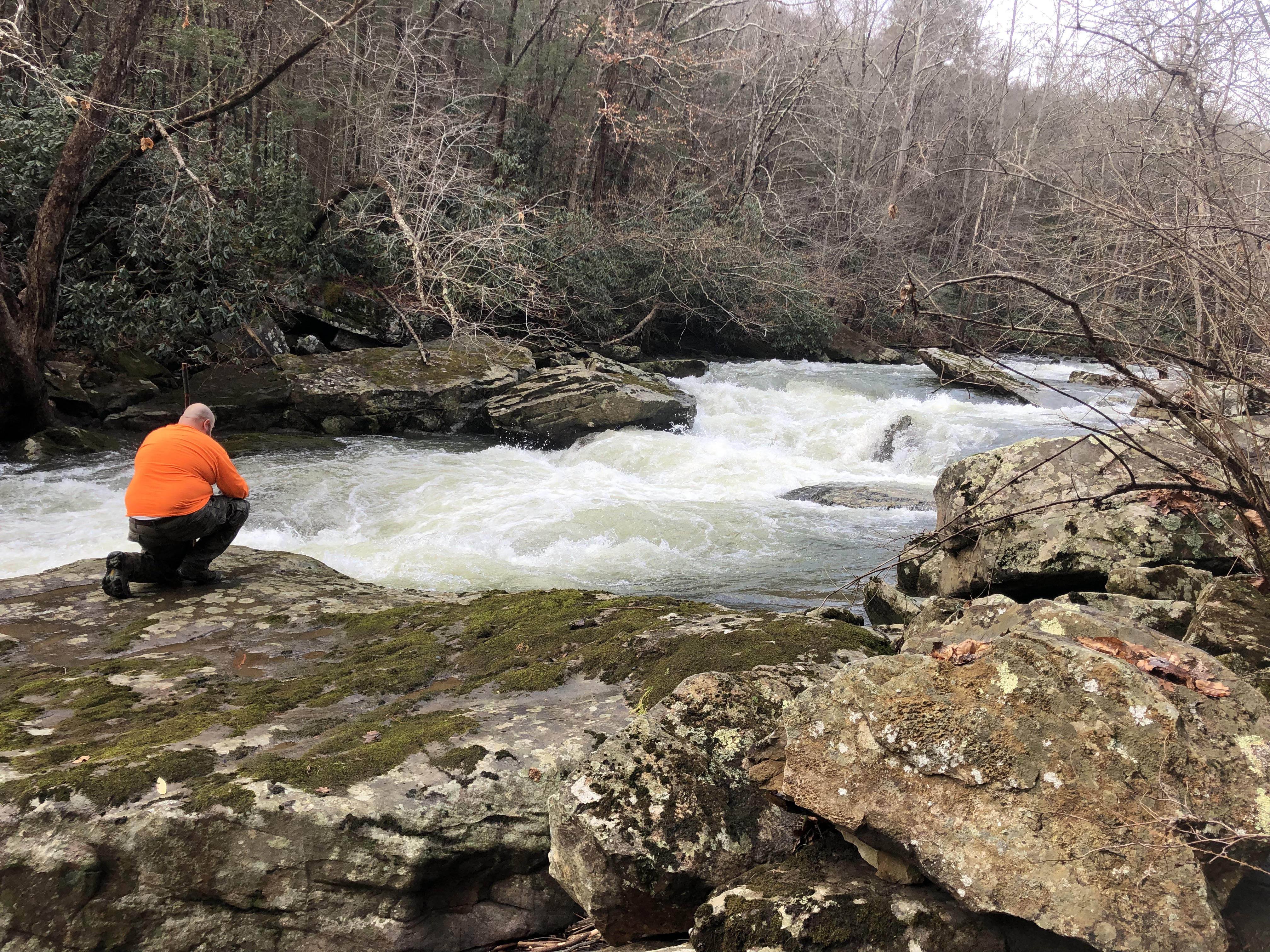
Past the bridge, the trail closely follows the route of the river. With all of the recent rainfall, it was flowing fast and furiously. Many times as we walked along, we stopped to study different rapids. I wondered aloud if people paddle this river, and Rob said that he was sure they did. He said, “That is way above my pay grade, though.” Indeed, this river is for the serious paddlers as it appears to have many Class IV and Class V rapids (on a scale of I to V).

The next cache was hidden on top of a large boulder about 15 feet off the trail. We circled it a few times, but could not see a good way to climb atop it. With recent wet weather, the rock was slippery, so we decided to leave this hunt for another day as well.
We continued down the trail, logging caches along the way. Some were missing, and we replaced them as we went. Rob was in communication throughout the hike with biblemanrick (Rick) who is the cache owner of some of them. He gave us permission to replace the ones that were gone. Others we found after a great deal of searching. This hike was a very slow one because of the amount of time we were spending at each cache location.
Somewhere along the way, we passed a young woman walking back up the trail, carrying a large folded mat on her back. I suddenly realized what it was, and what the man riding the bike at the beginning of the trail had been carrying. These were rock climbers, and these were crash pads that climbers place below the area they will be climbing.
We soon saw the dog that we had seen with that bike rider, and a whole group of rock climbers near a large rock next to the trail. No one was climbing when we walked by, but they had their gear all spread out and ready. Rob and I joked that we should ask them to go back up the trail and climb the rock to find the cache we had passed on earlier.
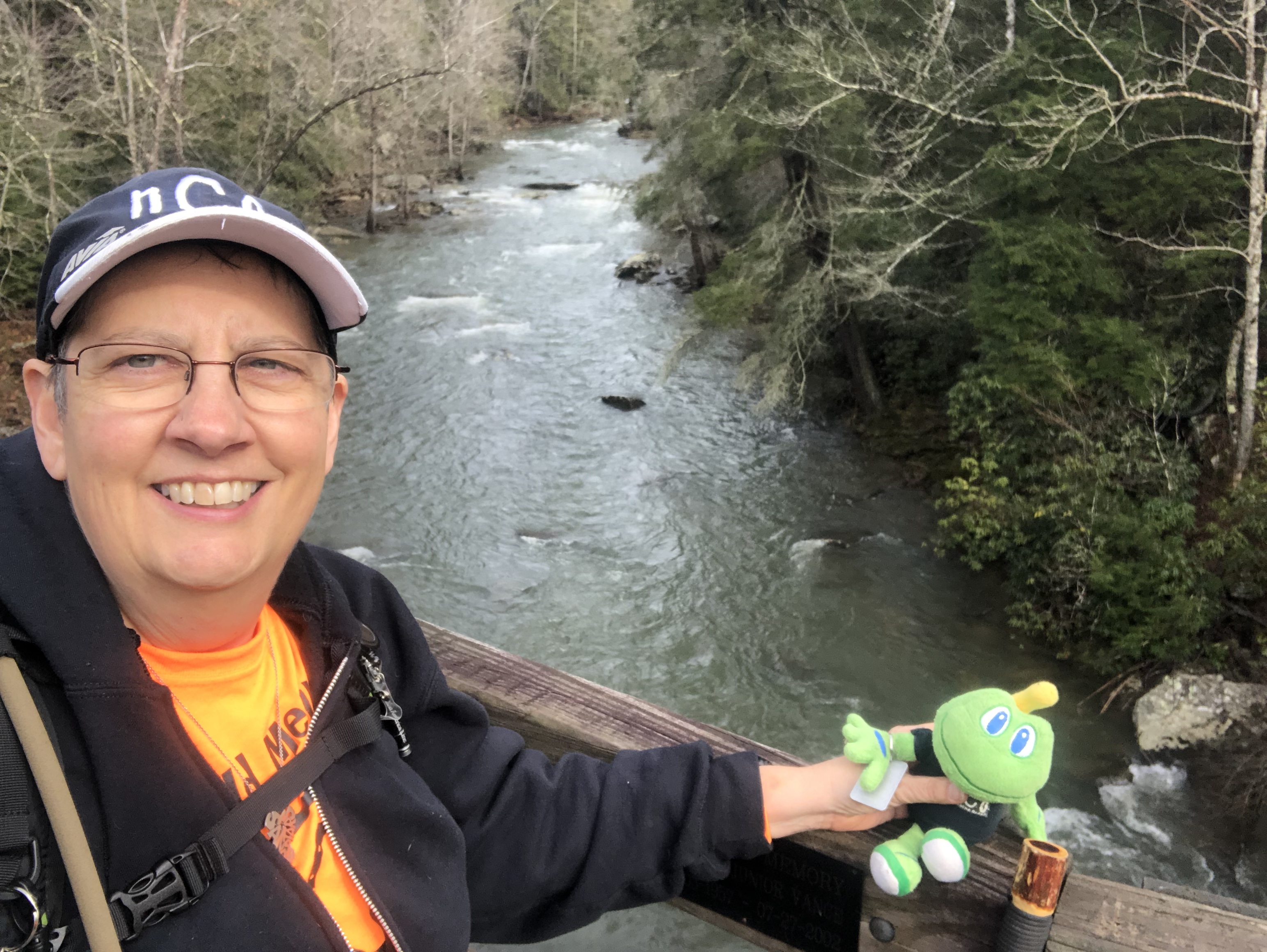
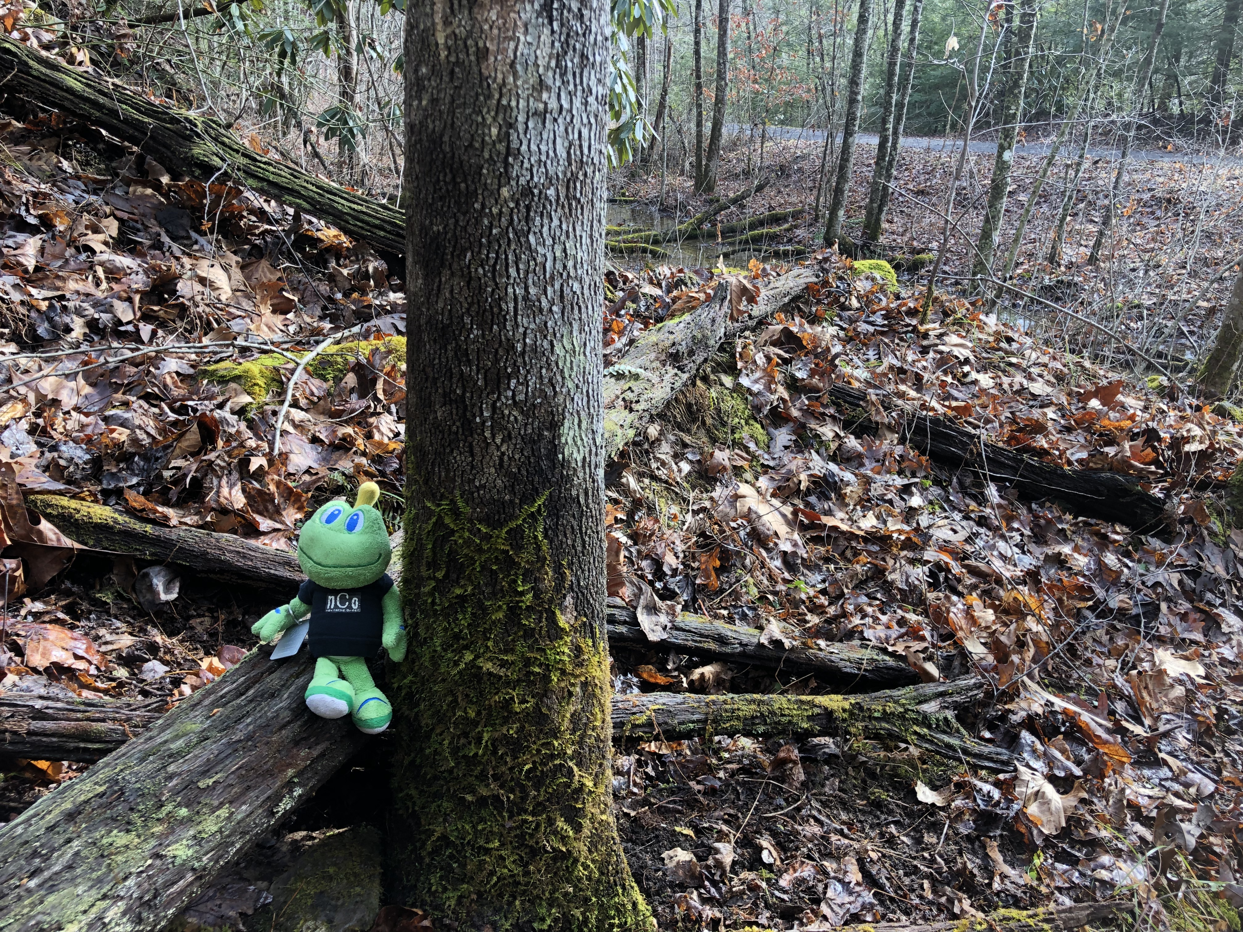
One of the caches that we searched for was called “Frog Pond Cache.” It had been hidden next to a frog pond by the trail. Signal the Frog was excited at the prospect of meeting some friends, but sadly we could not find any frogs, and the cache was missing as well.
It was while we were searching for it that I saw Rob fall first the first time in all of our hikes together. I have taken tumbles from time to time, but he has always stayed on his feet. He was standing on a steep slope covered in wet leaves when his feet slid out from under him. Fortunately, he was unhurt, but he got plenty muddy in the process. We replaced this cache with the cache owner’s permission and moved on.
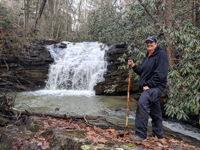
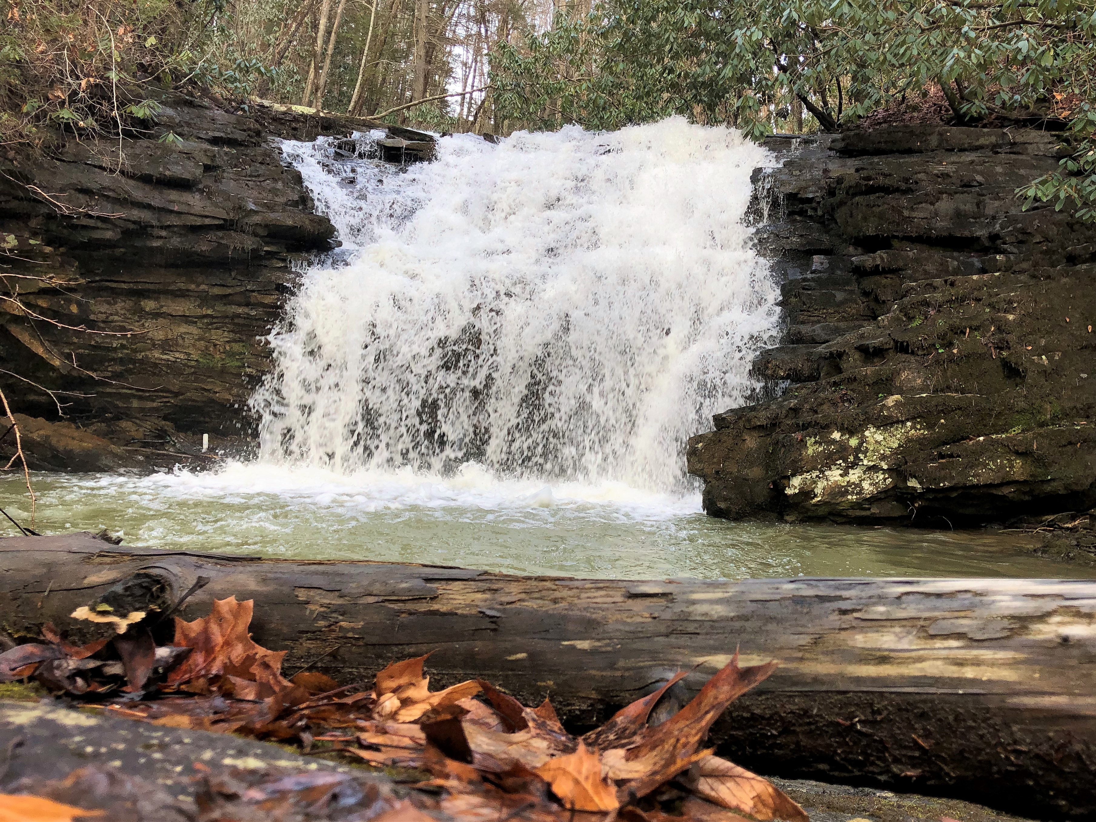
Another cache was hidden under the end of another foot bridge. This bridge crossed a creek that flowed into the Guest River, and upstream from it we could see a nice waterfall. Our maps showed that this was Crab Orchard Branch. We searched for a way to get closer to the waterfall so we could take photos. The terrain dropped off sharply from the trail, but by walking a little further down the trail we found a gentler slope. We made our way down and then back toward the branch, following it upstream toward the falls. Unfortunately, we could not get close to the falls and there was not a good place on this side of the creek to take photos.
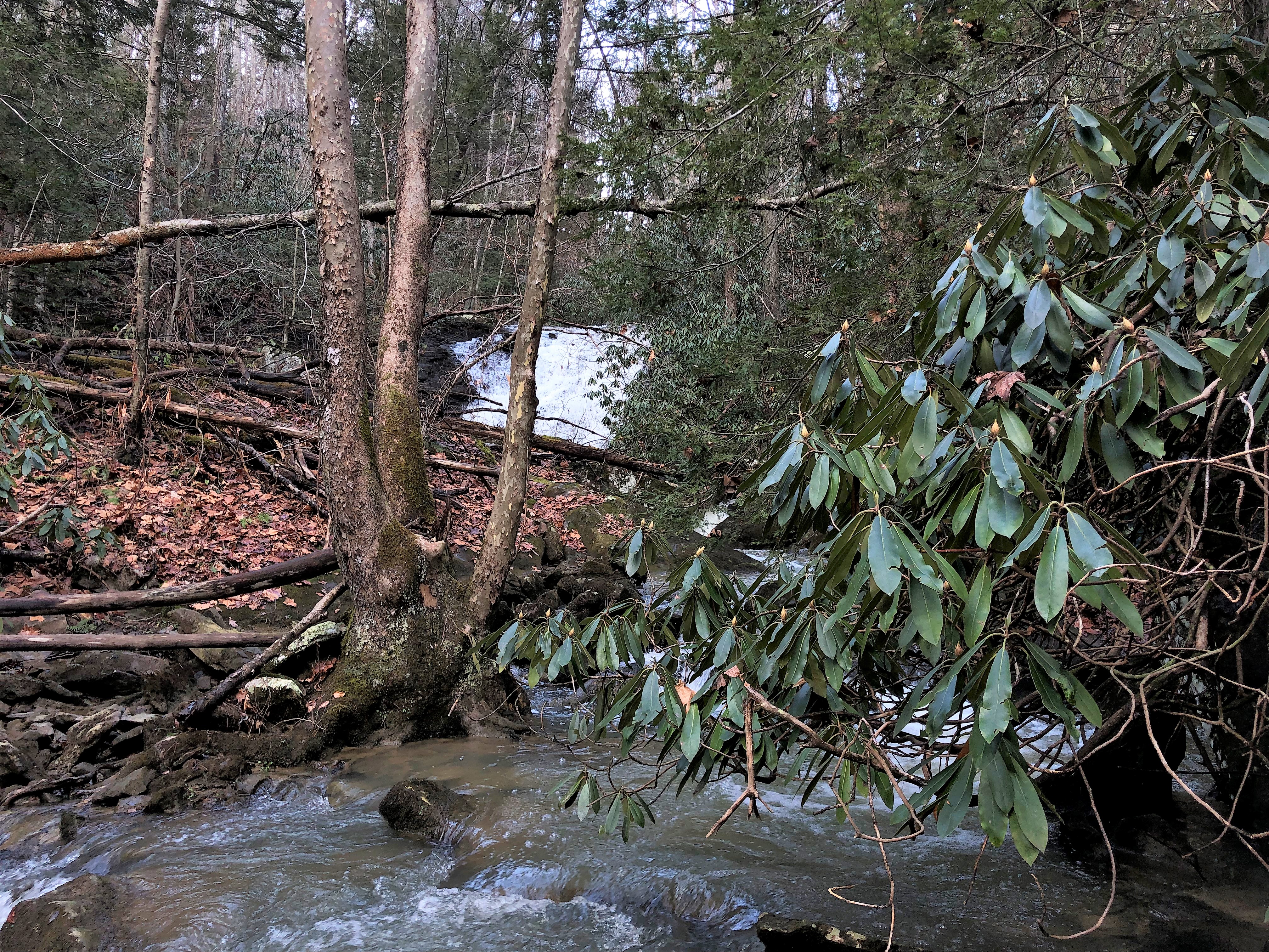
We made our way back to the trail, crossed the bridge, and attempted to get closer from the other side of the branch. This time we were successful in finding a route, and were able to get close enough to take some good photos. I had chosen not to carry my Nikon camera with me, but have learned a few tricks that allow me to take decent photos with my iPhone. I may take my good camera back with me on my next trip for better quality photos.
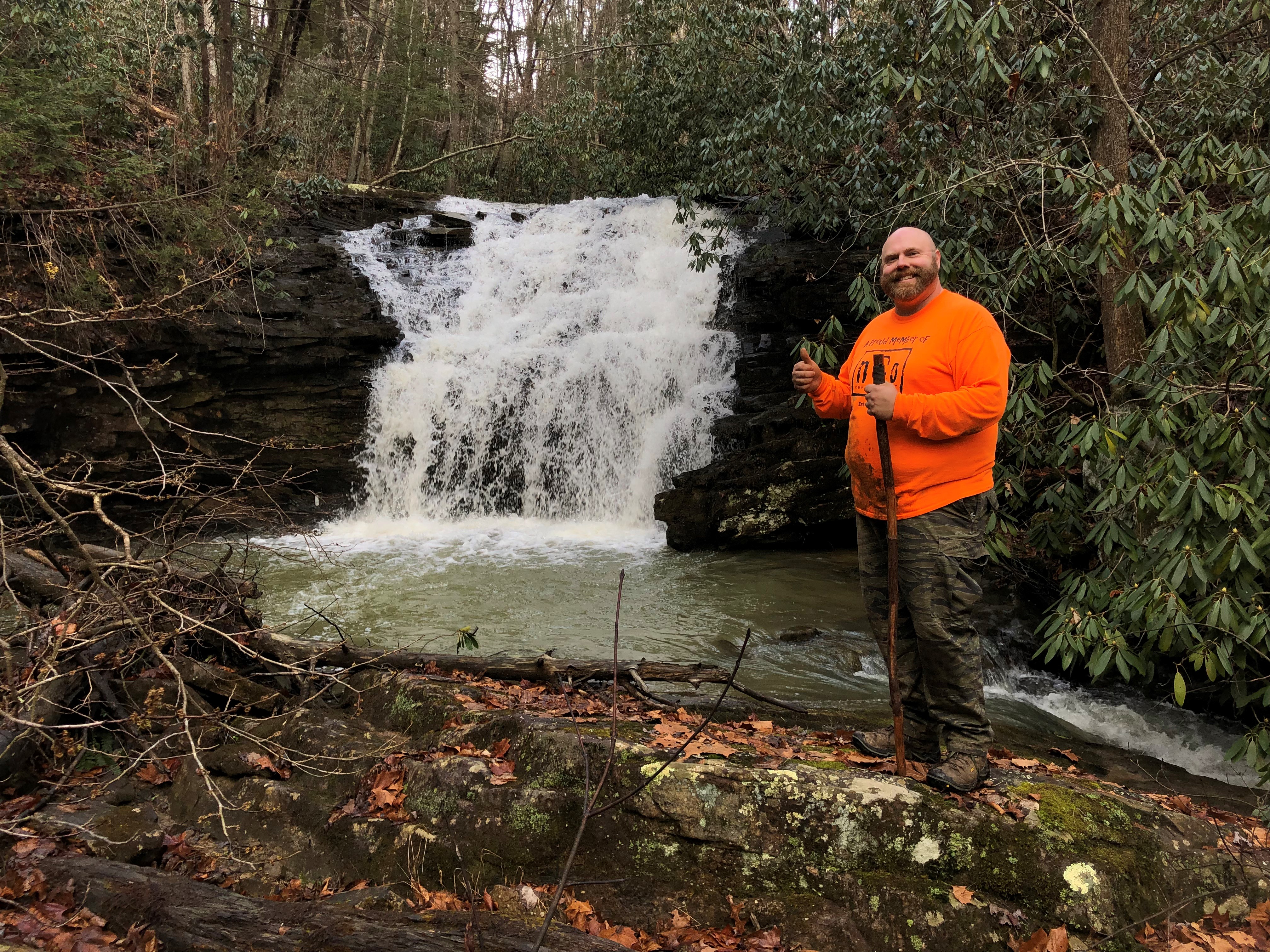
After enjoying the beautiful waterfall we made our back to the trail, and continued down it to around the two-mile mark, logging more caches along the way. There were many more caches past this point, but we decided to save them for another day. We had been on the trail for five hours and it was time to head back. Right after we turned around, I spied a waterfall across the river, and we went off-trail searching for a vantage point to see it better. We kept encountering dead ends and decided to save this exploration for our next trip. Perhaps there is a spur path further along the trail that will take us closer to it.
The hike back up the trail took us an hour. The trail makes a steady but gentle ascent going back, so we complained about hiking uphill as we usually do. We stopped once to log a cache that we had accidentally passed on the way down.
After passing through the tunnel, we stopped to replace the geocache that we had not found earlier. It was a good thing that I had placed so many containers in my pack prior to the trip, because I used nearly all of them. Replacing caches you cannot find is not always a good idea. You may have simply overlooked the cache, especially if it is a high difficult hide. However, in this case we had permission from the cache owners to replace them.
While replacing this cache, we had left our backpacks on a nearby bench. I assumed I had left my phone there as well, because it was not in my pocket. As I was coming down from the cache location toward the bench, I spotted something shiny on the ground. It was my phone! Somehow it had fallen from my pocket on my way up the hill. I was very glad that I spotted it and saved us a frantic search.
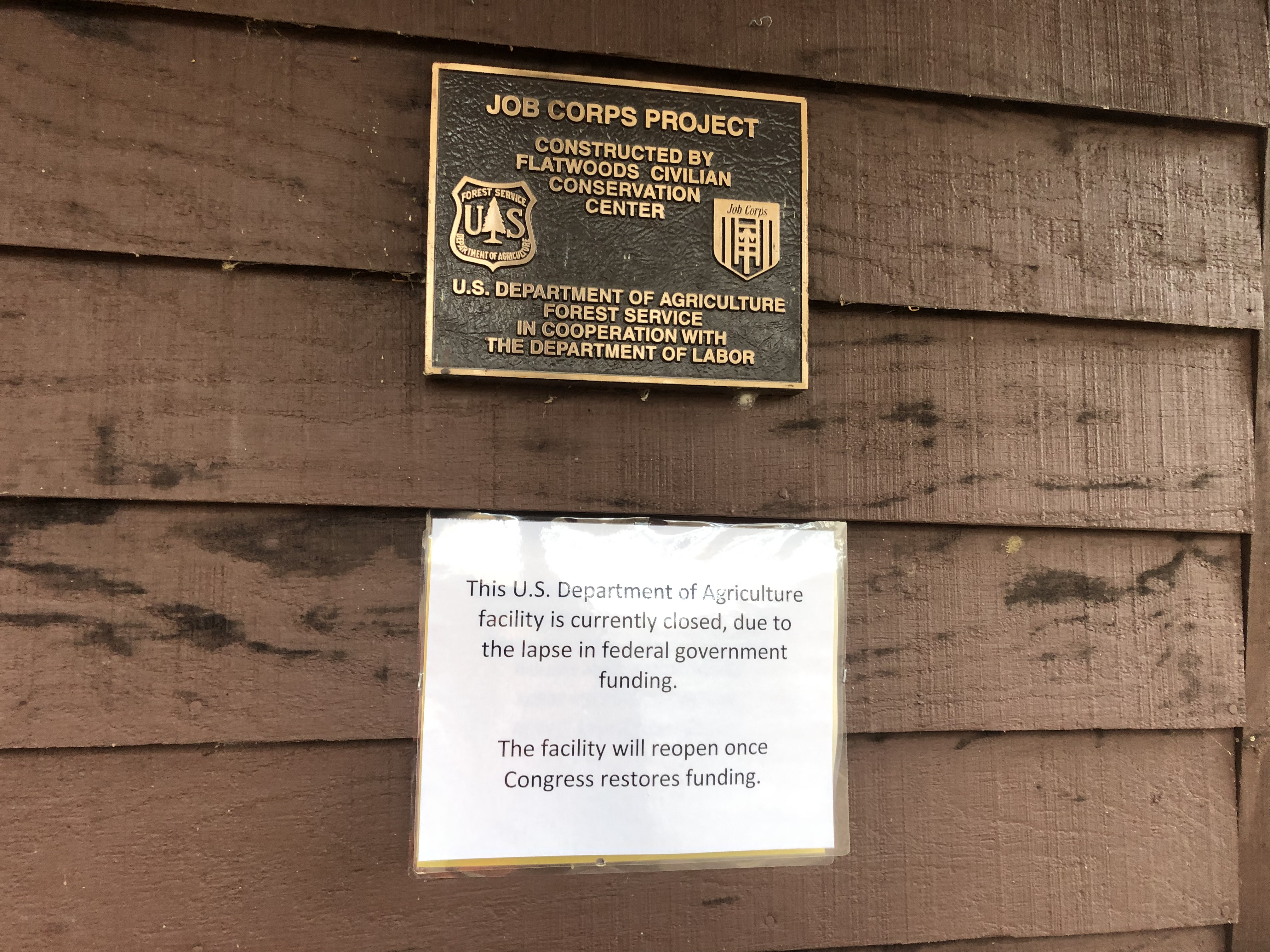
I needed to use the restroom when we got back to the parking area, so stopped off at the pit toilets. I was not happy to see a sign saying that they were closed due to the government shut down, but fortunately they were unlocked. I suppose by closed, they meant no one is maintaining them. There was no toilet paper and things were a bit messy, but I was happy that they were at least accessible.
While I was in the restroom, Rob chatted with some kayakers that were in the parking lot. He learned that they had put in here earlier in the day and paddled to the Clinch River. I am sorry that we missed seeing them on the water. That would have been quite exciting.
I listed this hike in the bullet points above as five miles. That is the distance that we traveled on the trail, plus an estimate of the distance covered in our off-trail meanderings. My Garmin Forerunner watch actually logged the hike as seven miles, but I believe that is too high. It sometimes loses GPS signal in remote areas, and I believe it also became “confused” when I was inside the tunnel.
We look forward to making some return trips to this beautiful trail. There is much more to see, and many more geocaches to find. We have discussed whether our next trip needs to be on foot or bikes. Seeing the trail in person, we know that it would be an easy ride down, but a long, hard pedal back to parking.
