Mendota Trail, Bristol, VA
- 7.30 miles
- 2:30 duration
- 450 ft elevation gain
- 12 caches found during ride
I will start out by saying I took very few photos on this trip. I will explain more about that later. I just wanted to throw out that disclaimer here at the beginning for folks who have come to expect lots of photos with my blog.
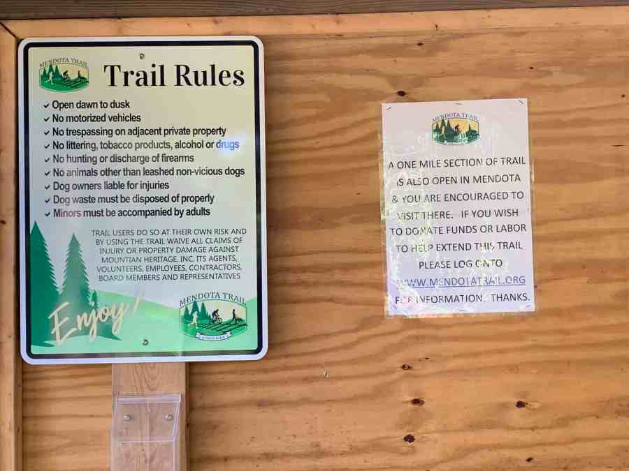
The Mendota Trail begins in Bristol, VA and currently runs a little over three miles northwest toward Mendota, VA. There is also a stretch of the trail that runs one mile southeast from Mendota. The sections of the trail in between are still under construction, but eventually this will be a 12.5 mile hiking/biking trail. It largely follows the route of an old railroad, and is one of Virginia’s many rails to trails projects.
With the newly opened stretch of trail nearest Bristol, a local geocacher hid several new caches which published Monday, August 26. I decided to dust off the BAT-bike on Saturday so that I could try out the new trail and log the new caches.
I knew that I would not be first to find the caches on this trail, because some of the retired folks in the area had already been out earlier in the week to find them. But, I felt it would be a good way to see some new territory and get some much-needed exercise. I have been a bit of a slug this summer, getting very little cardio in.
I didn’t want to get up too early, so didn’t leave the house until a little after 9:00 am. I drove to Bristol and found the newly constructed parking area near the trail head along Island Road. I parked the truck and then walked back down to the gate at the entrance to the parking area to log the trail head cache. It was an easy find – a magnetic nano hidden in the gate post.
I then returned to the truck and began preparing for my ride. I needed to first air up my tires, since the bike had been hanging in the garage for several months. As I was working, a car pulled up next to me with a middle-aged couple inside. They asked about the trail, and I told them what I knew – that a stretch from here to the intersection of Reedy Creek Road and Haskell Station Road was open. I couldn’t tell them the distance, or what the trail was like since I hadn’t ridden it yet.
They moved on, and after donning my helmet and backpack, I hit the trail. From the parking area there is a short distance to the trail head. One of those new caches was hidden here, but I decided to save it for the return trip, eager to get going.

I immediately came to a sign that said, Walk Your Bike. Just past it was a very short but very steep path down the hill with a switchback in the middle. I dutifully climbed off and walked my bike down.
Once back on the bike I rode under the interstate and along the trail. I knew it would be quite a distance before I arrived at the rest of the new caches as they all seemed to be bunched at the far end of the open section of trail.
This first stretch of the trail was pleasantly shaded and once I was out of earshot of the interstate it was largely peaceful. I seemed at times to be riding nearly in the back yards of some homes. The path was fairly rough – not the manicured hard-packed gravel path of the Tweetsie Trail or Virginia Creeper Trail. The trail surface varied from mowed grass to dirt like a mountain bike trail. The dirt areas still contain a fair amount of roots and rocks, making it a very bumpy ride.
As I rode, I thought to myself, “I am really out of shape!” I have not been keeping up with my cardio this summer or even getting my usual 10,000 steps a day in. I had my bike in the lowest gear, and even then it was a struggle to pedal. My legs felt like lead and I was breathing hard. My heart rate was registering in the 140 to 160 range. I began to question the wisdom of riding the whole trail, but I wasn’t about to turn back without logging the caches.
Fortunately, the weather was not too warm. It was in the mid-seventies and the shade along the trail kept me from getting too terribly hot.
As I rode along, I realized I hadn’t been taking many pictures, but I was just struggling to survive. I saw a few photo-worthy spots along the way, but decided to just stop and do that on the way back. I was eager to reach the caches.
About 3/4 mile into the ride, I noticed a man and boy ahead of me jogging. Normally you would think that a person on a bike would catch up to and pass joggers. Not this person. I never could catch up to them. I did pass them once when they had stopped off to rest and drink water, but they soon passed me again.
The trail crossed a few roads along the way, and at one point crossed and then followed a roadway. It then turned and there was an uphill climb next to another road that I ended up walking my bike up. This part of the trail was gravel, but it was not as hard packed as some trails I’ve ridden. I learned later that there is a missing trestle along the rail bed that forced this detour.

I was happy to finally make it to the top of this hill, and even had a small downhill part on the other side.

After a couple more tenths of a mile I reached the coordinates for the first cache. The hint read “between large and two smaller trees” and my phone seemed to point me to the left side of the trail. I beat my way through the vegetation looking at every set of “large and two small” trees that I saw with no luck. I finally stepped back out on the trail, looked across it and spotted a geopile of sticks. Thankfully this was where the cache was hidden so I was able to log it and move on.
As I approached the location for the next cache, I caught a whiff of something foul. I soon noticed that the fields on both sides of the trail had been plowed recently, and by the smell I could tell that they had also been fertilized. It was eye-watering.
I climbed off my bike and had been searching for the cache for a few minutes when my phone rang. I had told Deban to call me when she woke up, so this was her. After our hellos she asked, “Are you having fun?” “Welllll…” I replied. “Not really. I am really out of shape and this trail is killing me!” I was also frustrated with my difficulty finding these caches. It isn’t often that I don’t enjoy a geocaching adventure, but I was starting to really dislike this one. On top of that, the smell of manure and the exertion of riding this trail was making me a bit nauseous.
The hint for this second cache was “multi-trunk tree.” I had parked right next to one matching that description and had looked there first with no luck. After talking to Deban, I walked around to see if I could spot any more multi trunk trees and nothing else really matched that description. I stopped to fully read the cache page, and noticed something that the cache owner had written on each one. It said, “Each of these caches was hidden in a way that removes the need for bushwhacking. Most of them are placed within 20 feet of the trail or less.” I wished I had taken time to read that before I started looking for the previous cache. It would have saved me a good deal of thrashing around in the woods.
I finally returned to the original tree I had parked beside, and began sifting through the pile of leaves, dirt and twigs that rested where the trunks met. As I was tossing aside handfuls of debris I suddenly saw a pill bottle fly through the air. The cache! I picked it up, signed the log and replaced it. I then took a few moments to power up with a protein bar and hydrate before continuing on my way. I was happy to leave the smelly fields behind.
Arriving at the next cache location I checked the hint on the cache page. “Tree” it said. I looked around. There were trees all around me. Rats! This one wasn’t going to be any easier than the first. I had donned my prescription sunglasses before I started, leaving my regular glasses in the truck. This was fine when I was in the bright sunshine, but in the shadows of the tree-lined trail it made seeing difficult. I searched the base of every tree in sight before finally spotting it – hanging in a tree. Well, I had found three for three so far, but it wasn’t easy!
Fortunately, the next cache was much easier to find. It was in the first place I looked. I started to feel a little better about the day.
Just past this cache, the trail exited the woods and I was riding on mowed grass. I wonder how long it will take for this grass to be worn away by the traffic and become a muddy path? The sun was quite warm here without the shade of trees. Occasionally I would bump across a gravel driveway.
The next three caches were very easy to find as they were hidden at trail signs. I did have a little bit of difficulty climbing off my bike to log the first one. I was glad no one was around to see me clumsily hopping around on one foot because my pants leg snagged on the seat.
I was soon back in the shade again, and stopped to find the next cache which was hidden in a hole in a tree. I spotted a likely looking tree right away and went to it. The cache wasn’t in the first hole I checked, but was in the second. Right tree, wrong hole.
I spotted a church across the road called “El Shaddiah” and Amy Grant’s song started rolling through my head. I knew I was destined to be humming that the rest of the day. I say humming, because I don’t really remember many of the words to it.

Returning to my bike, I finished off the bottle of GatorAid that was in the bottle holder of my bike. I took off my back pack and pulled out a fresh bottle, laying it on the rack on the back of my bike while I put the empty bottle in my pack. I then headed on to the next cache.
Once again it was an easy find. I reached into my pocket to pull out the antbedy stamp that I had been using to sign the logs all day, and it wasn’t there! I checked all of my pockets to no avail. I knew it had to be somewhere between the previous cache and this one, but rather than backtrack to find it I used the pen attached to my pack to sign the log. There was only one more cache after this one before the trail ended and I would be turning around, so I decided to wait and look for it on my return trip.

I reached the end of the trail and once again found the cache quickly. What a relief it was to find caches without an extensive search. After logging it I climbed back on my bike and reached for the GatorAid bottle I had pulled out of my pack only moments earlier. It was not in the bottle holder.
It was then that I realized I must have left it on the rack on the back of my bike, and that I had probably left my name stamp there as well. I decided that they had both bounced off as I rode, and hopefully when I found the bottle the stamp would be nearby.
I turned my bike around and started riding back down the trail. After passing the next to last cache I started looking for my missing GatorAid and stamp. I soon spotted the GatorAid lying in the trail and stopped to pick it up. I then walked a hundred feet or so until I spotted my stamp. YES! I turned and walked back to my bike, happy to have found both of them.
As I continued back toward the trail head I suddenly realized why I had struggled so riding in the opposite direction. I was now speeding along, barely pedaling because I was traveling downhill! It wasn’t a very steep grade, but it was definitely not level ground. I had been struggling all morning because I was pedaling uphill the whole time! It had taken me nearly two hours to ride up the trail (including the time I spent looking for caches) but only took me 30 minutes to make the return trip.
A couple of times during the ride back I remembered to stop and take photos of those places I had passed up before. Here are those pictures:


I stopped just short of the trail head to look for the last cache. I found it easily armed with the knowledge of how the hider’s mind works.
After loading my bike in the truck, I decided since the day was still young I would search for more caches along my route home. I was able to log nine more caches giving me a total of 21 for the day. Not a bad day’s work!
